What type of holiday are you looking for? Are you traveling with family or friends? When would you like to visit? Let us make some recommendations!


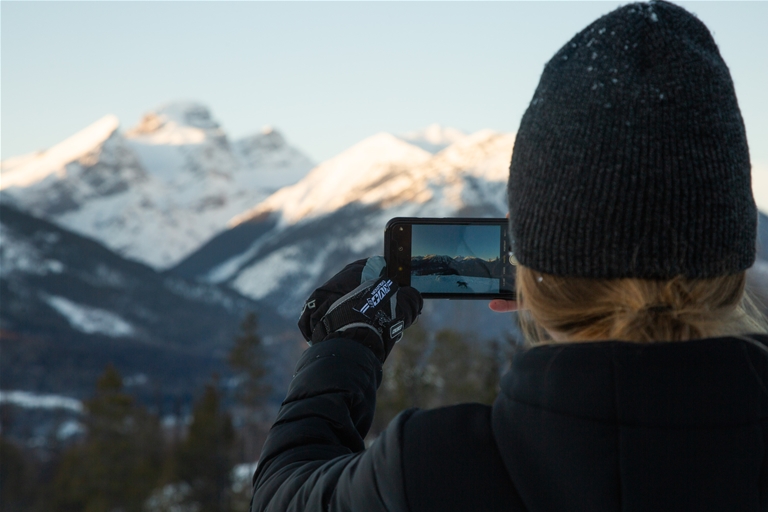
The Fernie Ridge Trail is on the southeast side of Fernie above the Ridgemont. The trail weaves through the treeline up and over sandstone rock onto the cliffs of Fernie Ridge. On a clear day, you'll have views of all the neighbouring mountains surrounding Fernie.
Level: ![]() Difficult
Difficult
Distance: 3.2 km to peak
Elevation Gain: 721m (2368ft)
Hiking time: 4 hrs round trip
Don't forget to pick up a Fernie Trail Map before your hike. TrailForks users can track their progress and location along this hike, if they have GPS on their mobile device, using the Trailforks app, and the route for Fernie Ridge.
This out and back trail is best accessed from June until November, though snow may still be present at the upper sections. The trailhead begins with a short and steady climb through a logged clearing until you reach the treeline. From here, the trail begins to switchback under the subalpine trees as the pitch will increase. The route becomes a little loose, rocky, and exposed leading to the final stretch up to the ridge. There is no water along this hike.
Depending on the winter snowfall amounts, Fernie Ridge tends to be accessible from mid-June. Expect some small amounts of snow, particularly in the shaded treed areas on the way up. Be beyond the ascent up the spine to the ridge top you may encounter deeper snow before early-July. This trail is good to hike all throughout summer until around early-November. You can find trail conditions and status on the route for Trailforks.
Head east along Coal Creek Road for approximately 2km until you reach Rifle Range Road on your left side. The climb up can be challenging and a vehicle with 4x4 with high clearance is highly recommended. Continue up the road taking a right turn at the first fork, followed by a left at the second fork.
At the next junction follow the switchback to the right, (almost a 180-degree turn). Continue along the road past the trailhead for Contra until you see a right-hand turn in a clear-cut that is impassable by vehicle. Park your vehicle just further ahead to the side.
On foot, continue up the inaccessible road following the cairns (man-made stone mounds) marked with orange flagging tape.
As with any trip into the backcountry be well prepared for sudden changes in weather. Remember that you are travelling in an area where wildlife is abundant. Be aware of your surrounding, follow the proper safety protocols and respect the environment.
Trail conditions reports are powered by the TrailForks app through information contributed by local and visiting hikers. Please feel free to add and update the trail report if you have completed the hike recently.