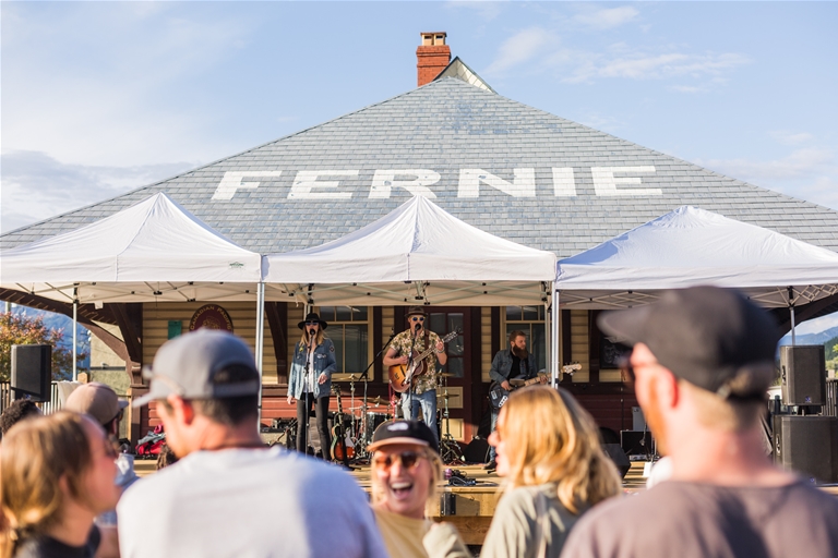
What type of holiday are you looking for? Are you traveling with family or friends? When would you like to visit? Let us make some recommendations!


")

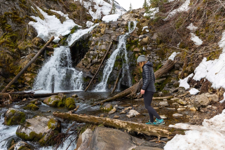
One of Fernie's beloved big alpine hikes.
Finished in 2003, Heiko’s Trail was built by one of Fernie’s renowned residents, Heiko Socher, who moved to Fernie as a forestry manager in 1964 and was integral in the foundation of Fernie Alpine Resort. The trail used to be called the Mountain Lakes Trail until in 2017 it was officially renamed Heiko's Trail after the passing of Heiko in 2016. He was very active in the community so much that everyone knows the name and much of his legacy.
Difficulty Level: ![]()
![]() Very difficult
Very difficult
Hiking Time: 8-11 hours
Length: 20km Point-to-Point
Elevation Gain: 1200 vertical metres over 2 mountain passes
Topographic Maps for Heiko's Trail: Download Map #'s 082G065 & 082G055
2022 IMPORTANT NOTICE: Access (start or finish) via Island Lake Lodge is limited and will affect shuttle pick-up and drop-offs. The Lodge is only open Sunday & Monday. Please arrange ahead of time if planning to start or end at Island Lake Lodge by calling them directly at 250-423-3700. A great alternative for hiking parties unable to arrange a shuttle at Island Lake Lodge is to start Heiko's from the Hartley Lake Road access and finish the hike by taking Mt Fernie Trail. For this option once you are at Windy Pass Junction on Hieko's, take Rocky Road Trail to Mt Fernie Ridge and descend down Mt Fernie Trail back towards town. The trail ends on the northwest end of Canyon Trails Road. The length of the hike is still similar.
Don't forget to pick up a Fernie Trail Map before your hike. TrailForks users can track their progress and location along this hike, if they have GPS on their mobile device, using the Trailforks app, and the route for Heiko's Trail. Trailforks app is a great tool but relies on your cell phone GPS and battery power (cellular connection not required but you have to download the app and map/trail ahead of time).
BE PREPARED - IMPORTANT: Be prepared with proper hiking boots, lots of water and food. Having hiking poles is helpful. Fernie has many outdoor gear shops. Know what to expect for weather and dress accordingly, temperatures are cooler the higher in elevation you go. Tell someone you know where you are going and when you plan to be back in case you run into any issues. This is bear country, learn about being safe in the mountains and carry bear spray and know how to use it (WildsafeBC). Pack in, pack out. Don't leave any garbage behind. If you have a dog and it poops on the trail, use a stick to push it fully off the trail or bag it and pack it out (same with human poop). There are no toilets at the trailhead or on the trail, if you use toilet paper pack it out or bury it in the ground off the trail. To learn more about adventuring safely visit AdventureSmart.
There is a defined singletrack trail the entire way, however in rocky/slate rock sections be sure to look for where the trail continues. See waterfalls, caves, cliff walls, big mountain passes, canyons, mountain meadows, wildlife and more. Allow a minimum of 8 hours for those experienced hiking at a steady pace with minimal stops, plan for 10+ hours otherwise. High level of fitness and some basic route-finding skills required. These times do not including vehicle shuttle/pick up to trailheads.View Photo Gallery of Heiko's Trail
Three Sisters and Mt Fernie Ridge (from Windy Pass) are fantastic trails to add to this hike if time allows within your schedule, overnight wilderness camping would be required.
From Hartley Lake Road: An initial short hike through the forest is followed by a steep section up a headwall past waterfalls and the Bisaro Mountain Cave (aka Bisaro But Beautiful Cave, as known to the Alberta Speleological Society, AB/BC Cave Rescue Group and as listed in the book Caves of the Canadian Rockies and the Columbia Mountains).
After gaining the headwall there is a moderate section up the alpine meadows under the south face of Mount Bisaro to the west ridge of Three Sisters Mountain. A steep descent down to Fairy Creek Meadows is followed by another climb to Windy Pass on the northern flank of Mount Fernie. Another long descent and traverse along the west flank of Mount Fernie ends at the top of Tamarack Trail overlooking Cedar Valley. The final 4 kilometres is a steep and loose descent down to Island Lake Lodge.
As with any trip into the backcountry be well prepared for changes in weather. Remember that you are travelling in an area where wildlife is abundant. Be aware of your surrounding, follow the proper safety protocols and respect the environment. You'll be gaining a lot of elevation on this hike and forecasted rain in Fernie can materialise as snow when high up on mountain.
Due to the slope aspect of where this trail is located, it usually takes a while for Heiko's to become fully accessible. An average guideline time is around late June to early September, but this varies depending on the winter snowfall and spring thaw. In 2022 Heiko's wasn't fully hikable until late July. You can find trail conditions and status by connecting with locals and see if there are any updates via Trailforks on the route for Heiko's Trail.
Please take great care when hiking in September and be prepared for shorter daylight hours, colder temperatures, snow, rain and extreme temperature changes.
It is recommended to have two shuttle vehicles for this hike, as one can be left at the trailhead and the other at the finish, or have someone drive you to the trailhead and pick you up at the end. Traditionally hikers start from Hartley Lake Road trailhead and finish at Island Lake Lodge, however for 2022 season Island Lake is only open Sunday & Monday for vehicle access to the lodge. When Island Lake is closed either call the lodge at least 24 hours in advance to arrange access or adjust the hike to come out via Mt Fernie Trail.
0.0 km (1400m) Trailhead off Hartley Lake Road
2.0 km (1560m) Bisaro Mountain Cave (a good short return option)
7.0 km (2280m) West Ridge junction with Three Sisters Trail
10.0 km (1905m) Fairy Creek Meadows
12.0 km (2135m) Windy Pass, junction with Mt Fernie Ridge Trail via Rocky Road
16.0 km (1940m) Top of Tamarack Trail
20.0 km (1385m) Island Lake Lodge
Finished in 2003, Heiko’s Trail was built by one of Fernie’s renowned residents, Heiko Socher, who moved to Fernie as a forestry manager and was integral in the foundation of Fernie Alpine Resort in 1964.
He spent the rest of his life in Fernie active in the community until he passed away on October 8th, 2016. In 2017, 'Heiko's Trail'–the trail he had dedicated many years to–and the Mountain Lakes Trail were officially combined and renamed as Heiko's Trail.
Trail conditions reports are powered by the TrailForks app through information contributed by local and visiting hikers. Please feel free to add and update the trail report if you have completed the hike recently. If the reports are old (more than a week) it would be beneficial to talk to local sources such as local sport/gear shops in town and the Visitor Centre or reach out to the Fernie Trails Alliance directly.