
Mount Fernie Trail
One of Fernie's most iconic mountains, Mount Fernie and its majestic trapezoid stature faces the city on its northwest side.
Mount Fernie Trail
One of Fernie's most iconic mountains, Mount Fernie and its majestic trapezoid stature faces the city on its northwest side.
Mount Fernie Trail
One of Fernie's most iconic mountains, Mount Fernie and its majestic trapezoid stature faces the city on its northwest side.
Mount Fernie Trail
One of Fernie's most iconic mountains, Mount Fernie and its majestic trapezoid stature faces the city on its northwest side.


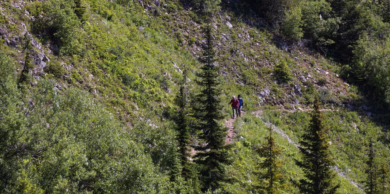
This trail was rebuilt by Fernie’s renowned Heiko Socher, replacing the older Mocasin Trail. This is a challenging half-day hike with excellent views. The trail starts in the shaded forest as it climbs back-and-forth up into the subalpine and onto the ridge. It has many steep sections and the last quarter of the trail goes along rocky and alpine level chutes and ridges. There are a few short exposed sections that may require some moderate scrambling. Dogs are allowed but must be under control at all times.
Mount Fernie Trail
Difficulty Level: Difficult
Hiking Time: 3.5-5 hours roundtrip
Distance: 8km return trip
Elevation Gain: 910 metres

Mt. Fernie Trail: What to Know
The trailhead is located at the end of Canyon Trail road in Fernie's Alpine Trails neighbourhood on the NE side of town.
From Fernie, head east on Hwy 3, continue past Tim Hortons & McDonald's, then cross the big bridge over the Elk River. Right after the bridge, take your first left onto Cedar Avenue up to Parkland Terrace/Alpine Trail neighbourhood. Proceed up Cedar Avenue and take your first right onto Canyon Trail, follow to the end by the gate and park (please do not block the gate or any private driveways).
To access the Mount Fernie trailhead walk past the gate and head up the gravel road, when you reach the junction of another gravel road, head right on that road for a very short distance and watch for the official trailhead on the left.
Mount Fernie trail is considered difficult.
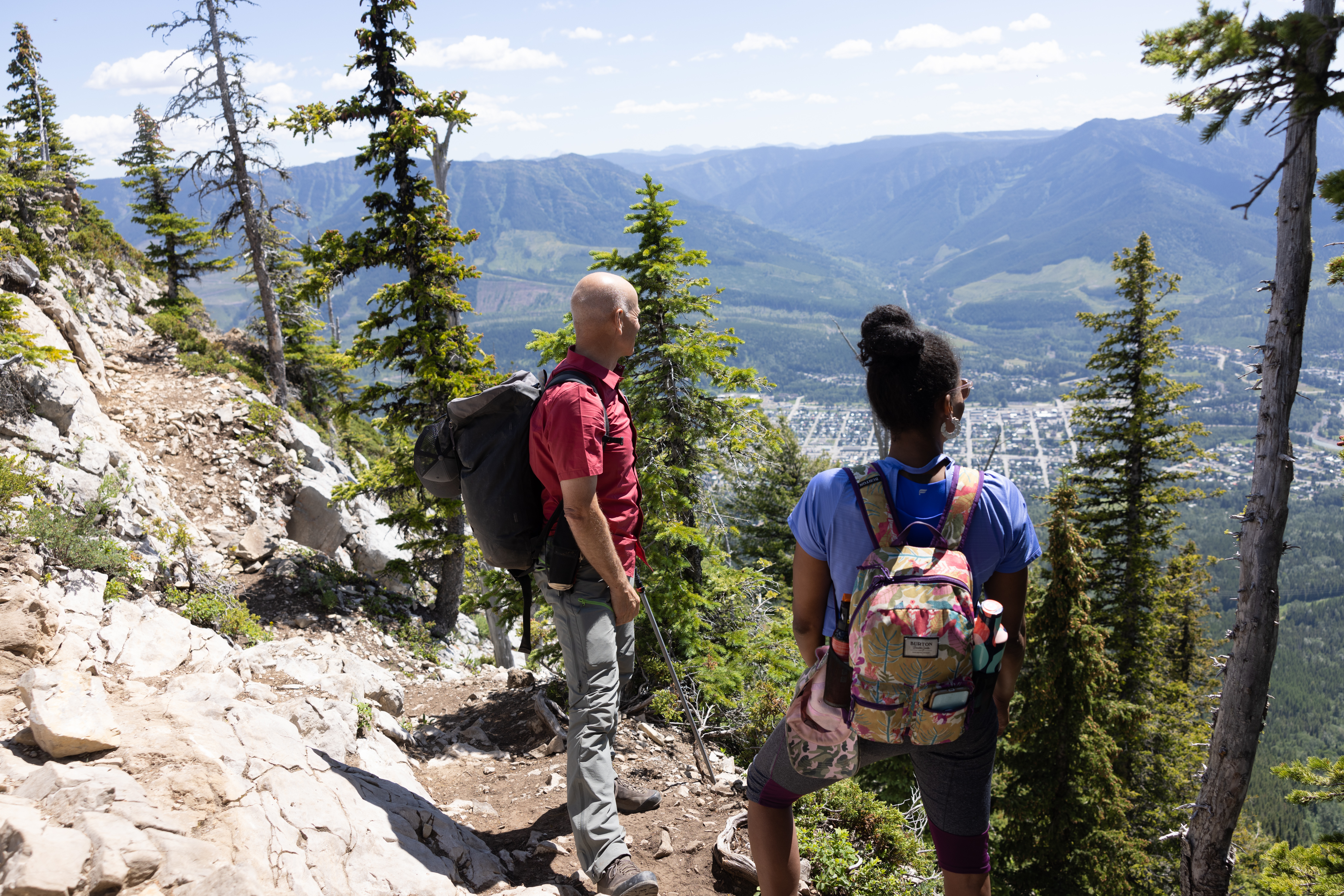
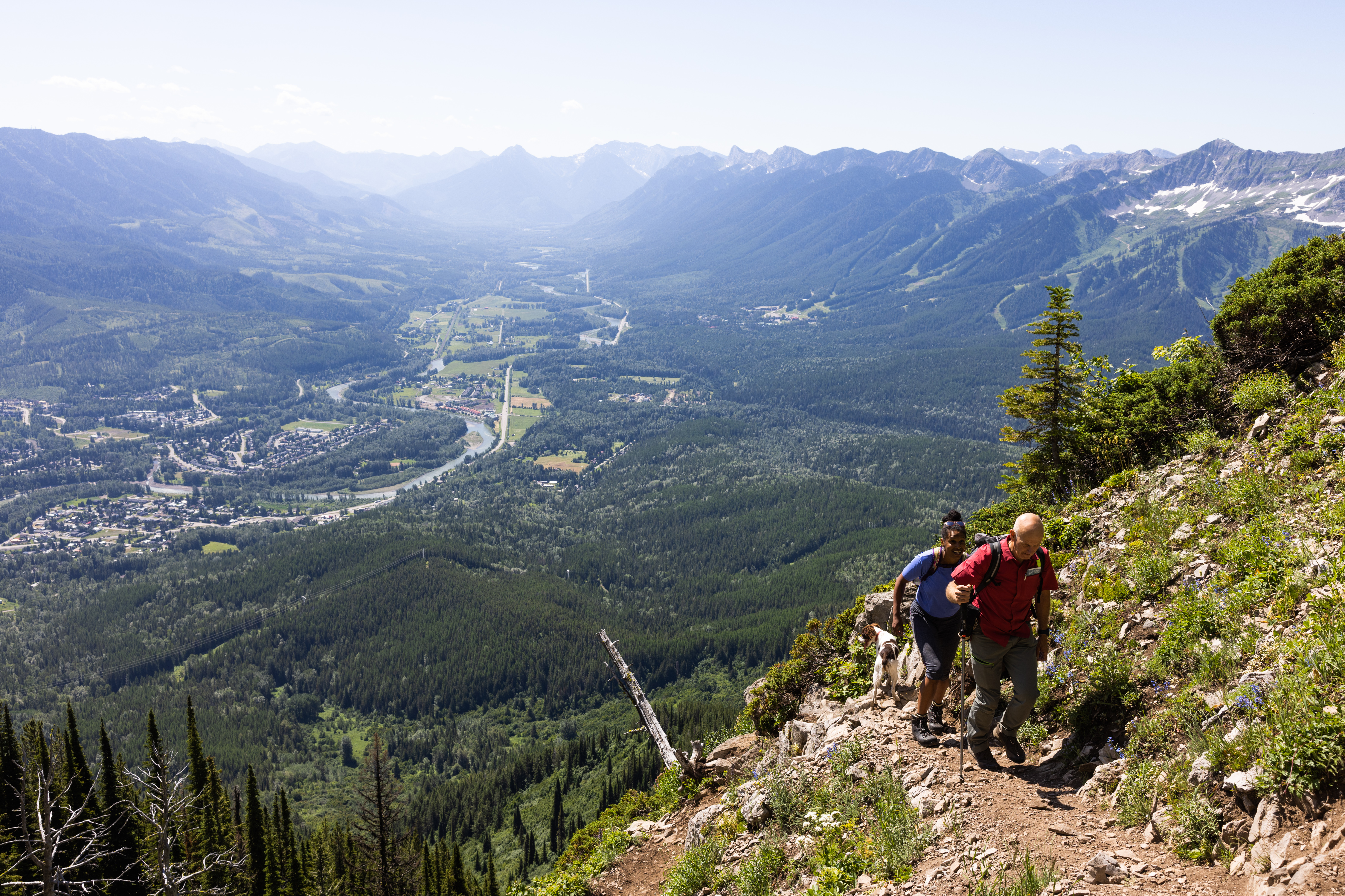
This trail starts off switch-backing through dense forest then eventually leads to spectacular views of chutes where winter avalanches have shaped the landscape. There is a bench about three-quarters of the way up offering stunning views of the Three Sisters peaks. This is often the finishing point for many beginner hikers or hikers with children as the terrain past this point gets steeper and more challenging.
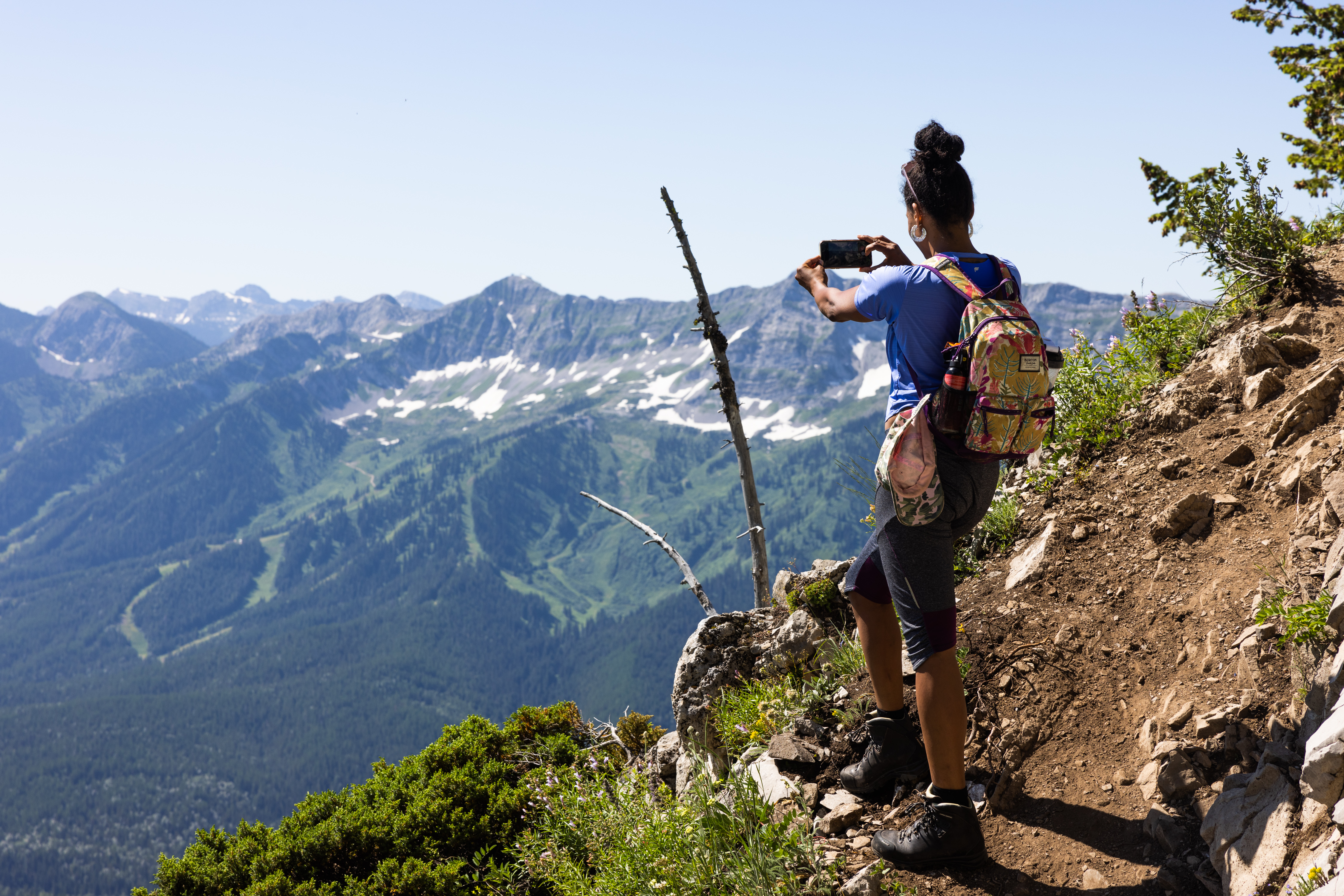
From the bench, the route becomes increasingly steeper and less shaded by the trees. You'll traverse several chutes where you'll get your first glimpse of Fernie from high up. As you approach the peak, the trail will become loose, dry, and rocky requiring some scrambling. Use caution in this area as the trail can be slippery if wet and fairly exposed.
There are two small benches at the ridge top to rest your weary legs whilst you soak in the unique views of the valley, ski resort, and wilderness backcountry behind the ridge towards the Three Sisters.
There are no water refill points along this trail.
Yes, dogs are allowed on Mt Fernie trail, however they should be kept on leash and under control, especially with wildlife in the area.
Please make sure to pick up and clean up after your dog, and don't leave the bags along the trail. Please note that there aren't any garbage bins located at the trailhead. There is no water available along the trail either.
The top of Mt Fernie is rocky, uneven and space is limited. Make sure your dog is fit, agile, and accustomed to steep mountain terrain.
Yes, Mount Fernie trail connects to Heiko's Trail.
Once at the top of Mount Fernie, you can continue to Windy Pass and the famous Heiko's Trail via Rocky Road (4km section of trail).
NOTE: This should not be done without proper planning ahead for it, as it would add at least another half day or longer to the return hike. Recommended to experienced hikers only.
This trail is typically good to hike between early/mid June and the beginning of October.
You'll be able to see from town if there is any snow along the top. Many will hike this trail but turn back before the chutes or ridgeline/rocky terrain if there is still snow or if any hikers are uncomfortable continuing on.
As a guideline, if snow is visible in the upper ridge and chutes from town then it will be challenging to reach the ridge top. If you need more trail information please reach out to the Fernie Visitor Information Centre.
Fernie is within the bear & wildlife country, so it’s always good to be prepared. Carry bear spray (and know how to use it), make noise, and stay aware of your surroundings. You can buy bear bells at the Visitor Centre. Bear spray can be purchased at Canadian Tire or some of the bike shops in town.
No, there aren't any facilities or garbage bins at the trailhead, nor along the trail. Please help us keep the trail pristine - pack out what you packed in and clean up after your dog.
As with any trip into nature, be well prepared for changes in weather. Remember that you are travelling in an area where wildlife is abundant. Be aware of your surrounding, be loud, follow the proper safety protocols and respect the environment. There are no water refill points along this trail, be sure to pack plenty.
Latest Trail Conditions
Trail conditions reports are powered by the TrailForks app through information contributed by local and visiting hikers. Please feel free to add and update the trail report if you have completed the hike recently.