
Endless Ways
To Explore
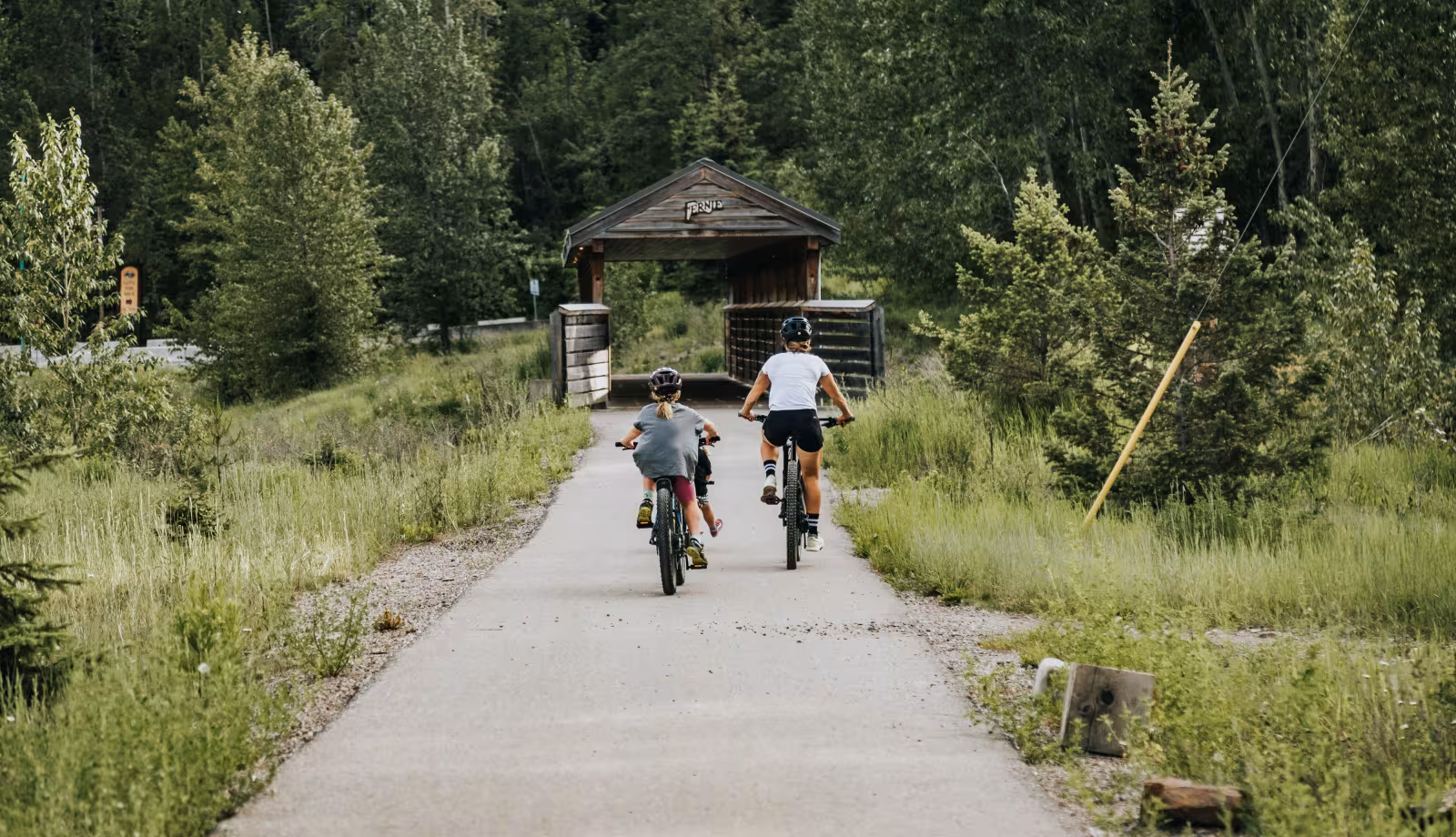
Whether you're into type 2 fun, or like strolling the galleries with coffee in hand, or both, Fernie delivers. Explore all there is to do.
No wildfires in Fernie. Campfire ban in effect! For more details click the link. Air Quality & Wildfire Updates
Whether you're into type 2 fun, or like strolling the galleries with coffee in hand, or both, Fernie delivers. Explore all there is to do.