
Endless Ways
To Explore
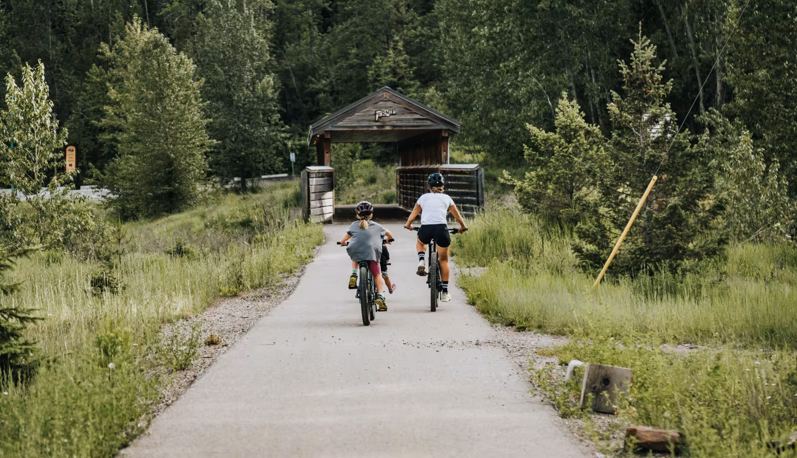
Whether you're into type 2 fun, or like strolling the galleries with coffee in hand, or both, Fernie delivers. Explore all there is to do.
Whether you're into type 2 fun, or like strolling the galleries with coffee in hand, or both, Fernie delivers. Explore all there is to do.